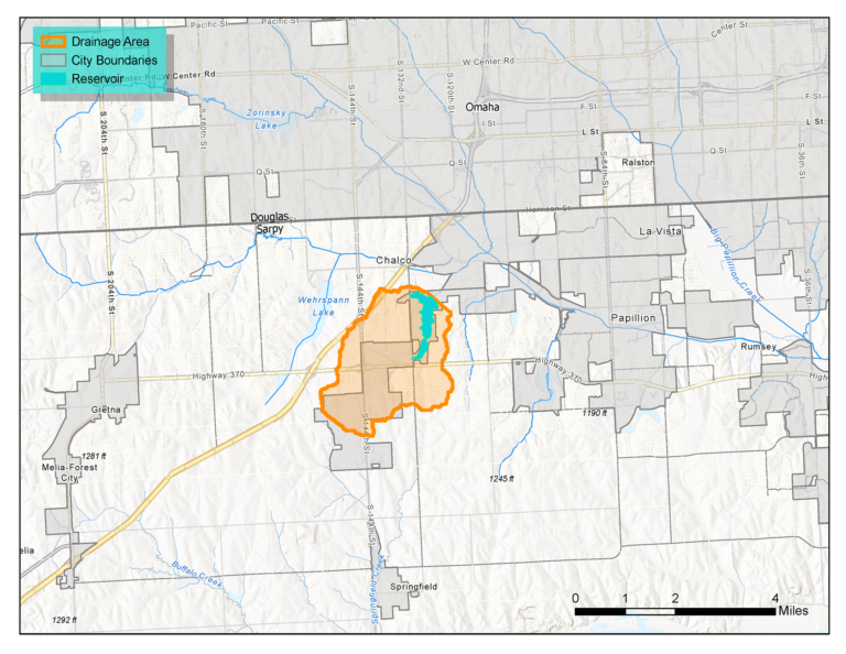
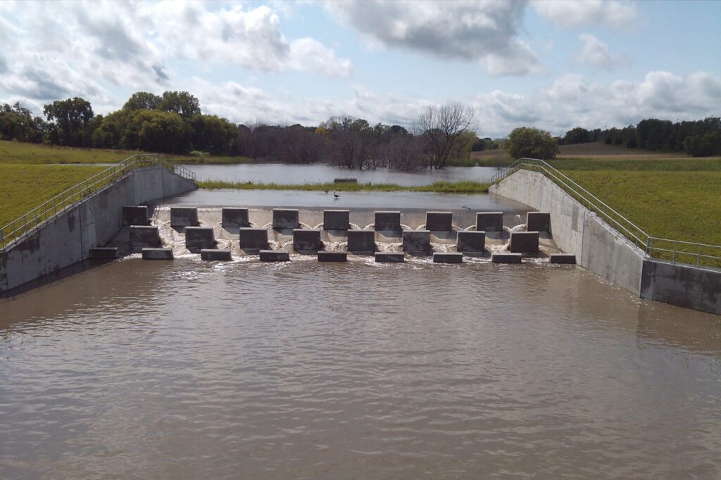
Prairie Queen Recreation Area (formerly called WP-5 Regional Detention Basin) is the first flood control structure proposed as part of the Papillion Creek Watershed Partnership’s Watershed Management Plan. Completed in 2015, the reservoir is located on Westmont Creek and controls 3,320 acres of drainage area where the City of Papillion is expanding to the south. The dam provides flood control on the West Papillion Creek to the downstream communities of Papillion and Bellevue.
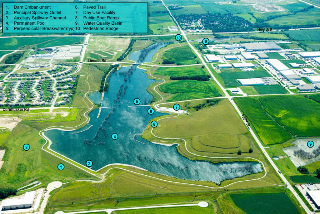
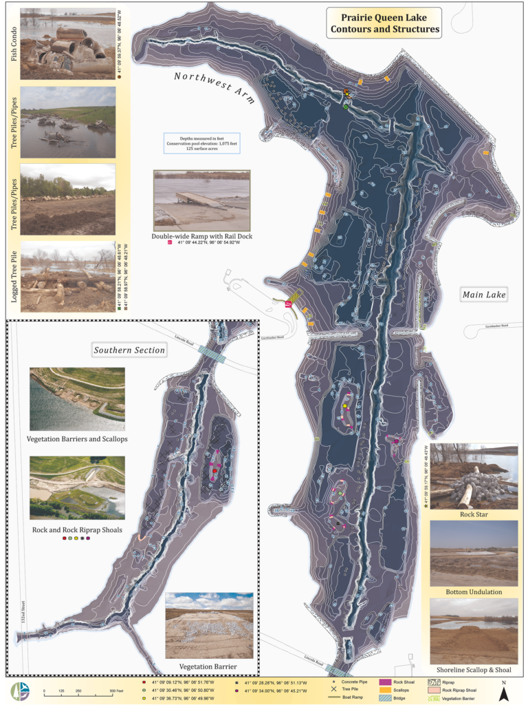
The recreation opportunities to serve the growing population are a large benefit of Prairie Queen. These include no-wake boating, fishing, paved hiking and biking trails, and picnic areas. The recreation area is full of birds, natural grasses, wildlife, and aquatic habitat. Numerous fish structures are below the water’s surface that help support the fish population, which is managed by the Nebraska Game and Parks Commission. The lake is stocked with bluegill, redear sunfish, crappie, largemouth bass, channel catfish, and walleye. The City of Papillion has assumed operation of the Prairie Queen Recreation area, while the Papio NRD continues to operate and maintain the dam.
Project Location
Project Details
Status: Completed
Location: Sarpy County, NE
Drainage Area: 3,320 acres
Lake Area: 470 acres
Park Area: 470 acres
Trail Length: 4 miles
Project Highlights
Two water quality basins were constructed west of 132nd St. to trap sediment and nutrients prior to reaching the reservoir. These two structures accumulated larges amounts of sediment already, which means they are serving their purpose in protecting the water quality at Prairie Queen.
A detailed map of the lakebed depths (also known as a bathymetry map) with the fisheries structure location has been developed to guide anglers to key attractions
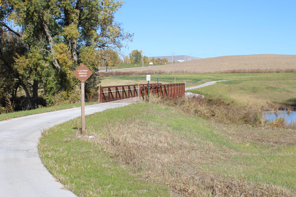
Four miles of trail and a pedestrian bridge complete a full loop around the lake.